NASA CASALS Explained: How Laser Light Builds 3D Earth Maps
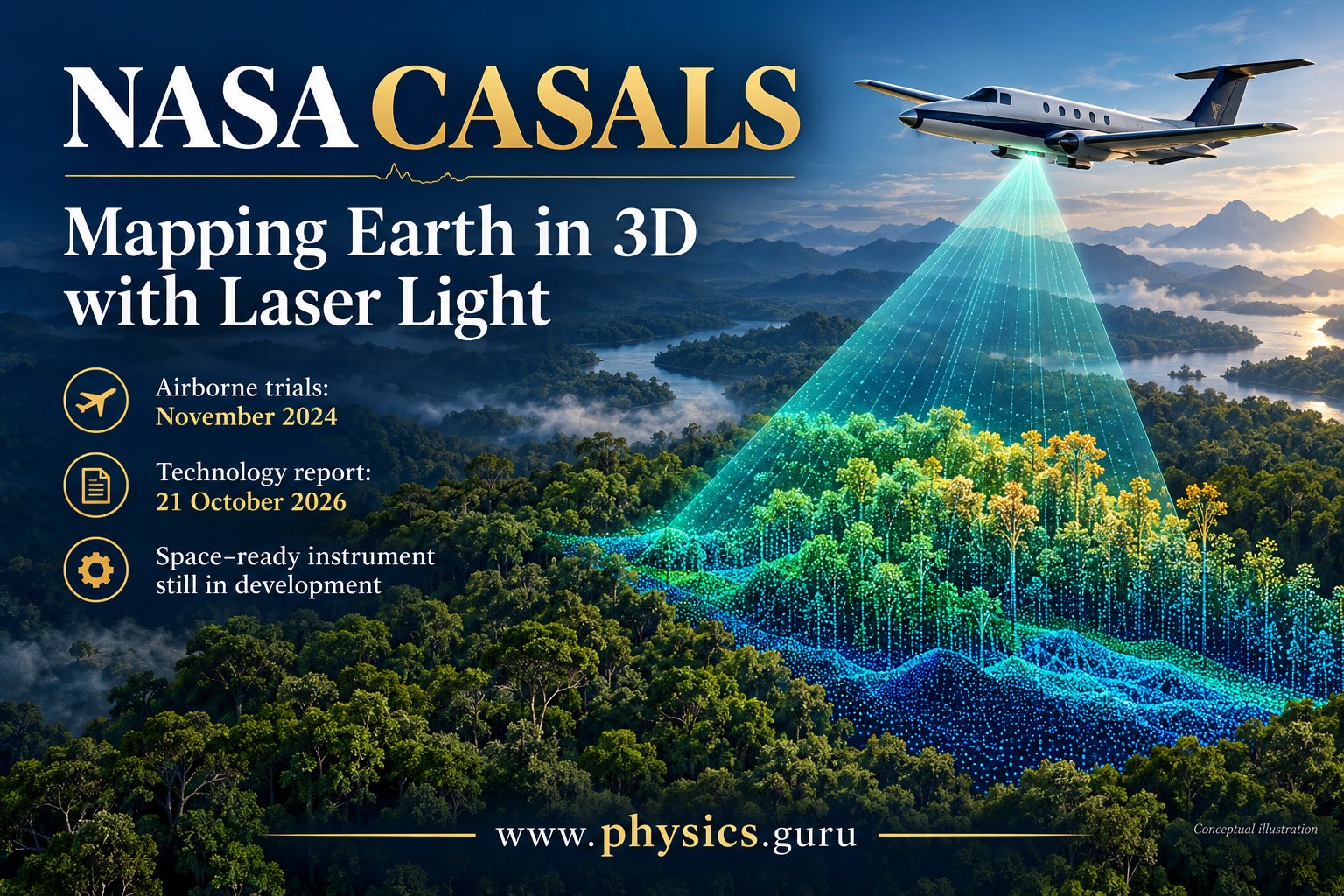
Conceptual illustration of airborne lidar, not a photograph of the CASALS aircraft or a measured dataset.
Discover NASA CASALS lidar, its November 2024 airborne trials and October 2026 technology report, with a simple explanation of 3D laser mapping.
What is new in NASA's CASALS report?
NASA published a technology report on 21st October, 2026 describing CASALS, an instrument intended to map forests and terrain in continuous three-dimensional swaths. The report discusses an airborne prototype tested in November 2024, so the publication date should not be mistaken for the trial date. Another airborne campaign is planned for summer 2027. A future space-ready version remains under development.
What makes this lidar approach different?
CASALS uses changes in laser wavelength and an optical grating to direct pulses across the ground, rather than relying on mechanically moving mirrors. NASA describes a system that cycles through 256 wavelengths. Its airborne measurements can reveal fine vegetation and terrain structure. The team still plans improvements, including a wider swath and onboard processing, before advancing towards a space-ready prototype.
How laser ranging works: a classroom explanation
Lidar uses light to investigate distance and surface structure. In a simple time-of-flight model, a pulse travels to an object and returns to a detector. If the measured round-trip time is t and the speed of light is c, the one-way distance is approximately d = ct/2. The factor of two appears because the pulse travels outward and back.
For an illustrative example, a round-trip time of 10 microseconds corresponds to about 1.5 kilometres, using c = 3 × 10⁸ metres per second. This is a teaching example, not a reported CASALS measurement. A real instrument also needs timing calibration and information about its location, orientation and measurement geometry.
Why a three-dimensional forest map is useful
A conventional image shows how a surface looks from a particular viewpoint. A three-dimensional dataset adds information about where measured points lie in space. In a forest, the top of the canopy and the ground are different surfaces; distinguishing them helps describe the structure between them.
Imagine measuring only along a few narrow lines across a large field. Those lines provide information where the instrument looks, but the gaps still require inference. Increasing coverage can reduce the amount that must be estimated between observations. It does not remove every source of uncertainty, and a dense-looking visualisation should never be confused with perfect knowledge of the landscape.
The connection to wave optics and data interpretation
Students studying Physics can connect this story with wavelength, diffraction, speed, time and measurement uncertainty. A diffraction grating redirects different wavelengths at different angles. This provides a physical way to steer light while keeping the optical geometry fixed, although the complete instrument is much more sophisticated than a classroom demonstration.
An important distinction is resolution versus accuracy. Resolution concerns how finely a system can distinguish detail; accuracy concerns how close a measurement is to its true value. A colourful point cloud may display many points while still requiring calibration and error analysis. Always ask what was directly measured, what was calculated and what was inferred.
What should readers expect next?
The next stages described by NASA involve further airborne work and technology development. The October report does not announce an operational CASALS satellite or a completed global map. For students, the story shows how a familiar optical principle can become a useful instrument through engineering, testing and careful interpretation. Future progress should be assessed through reported measurements and demonstrated performance, with planned capabilities clearly identified as goals.